
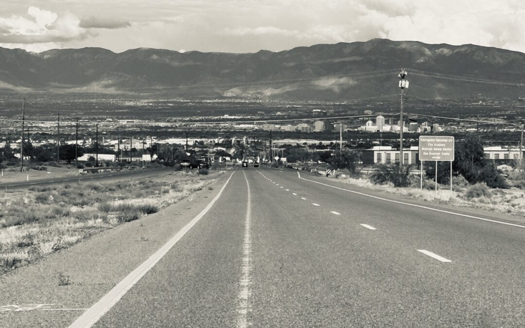
Tucumcari to ABQ
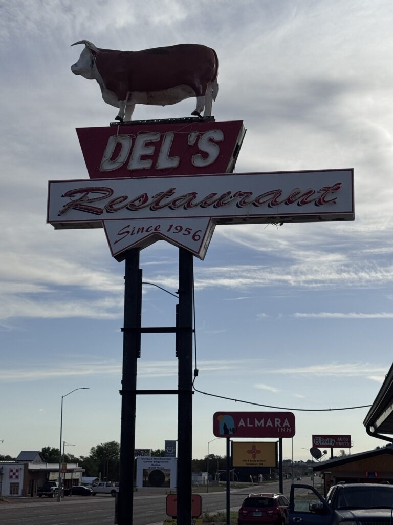
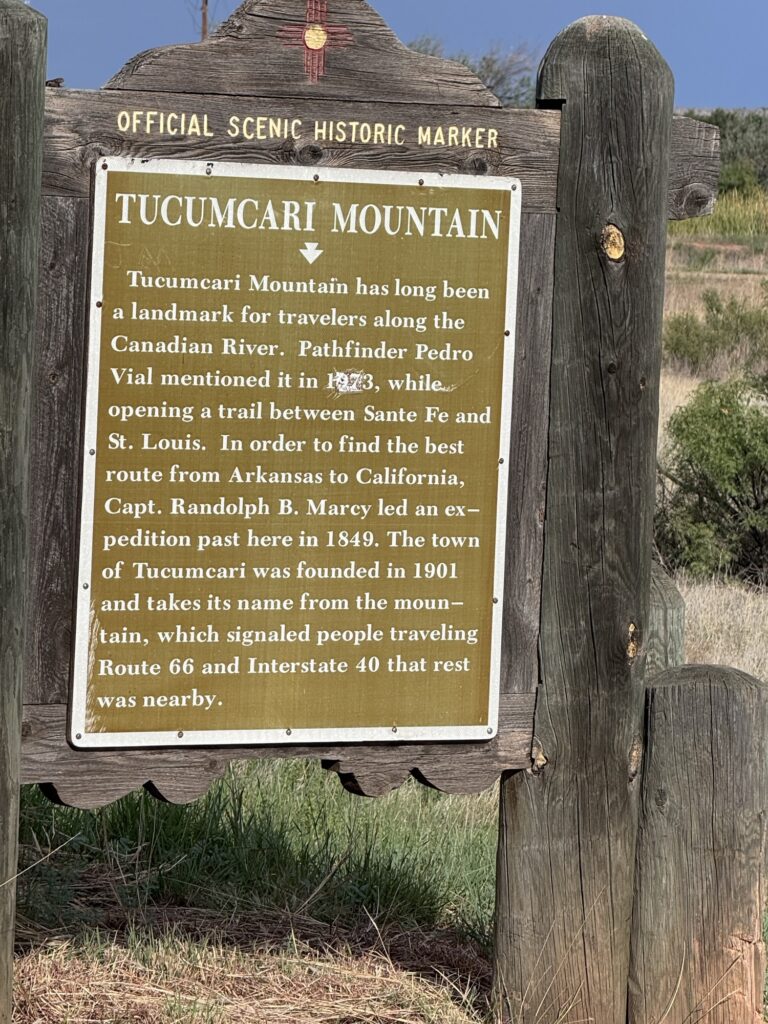
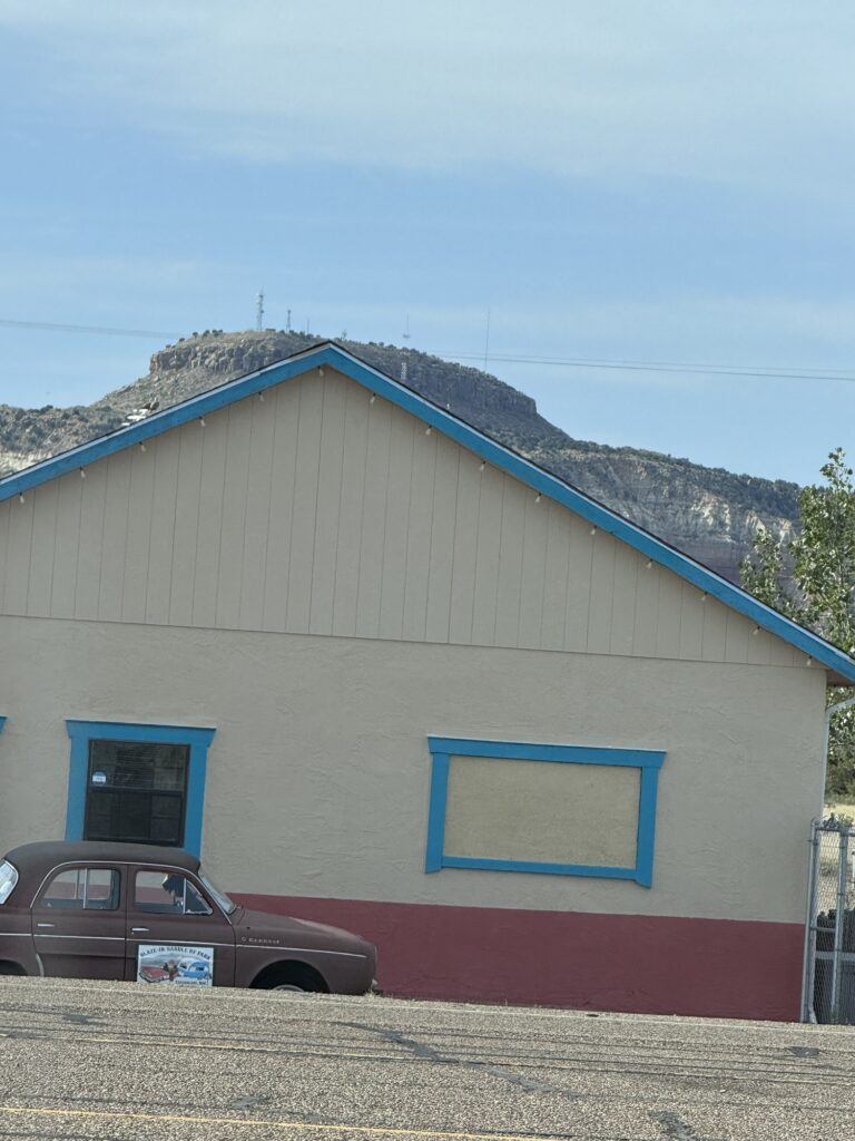
We went back to the beginning edge of town, to Tucumcari mountain a welcome site for westward travelers knowing that rest and such was just ahead in town
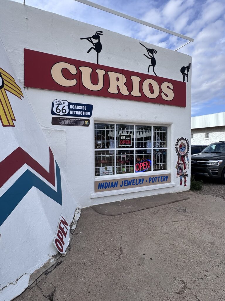
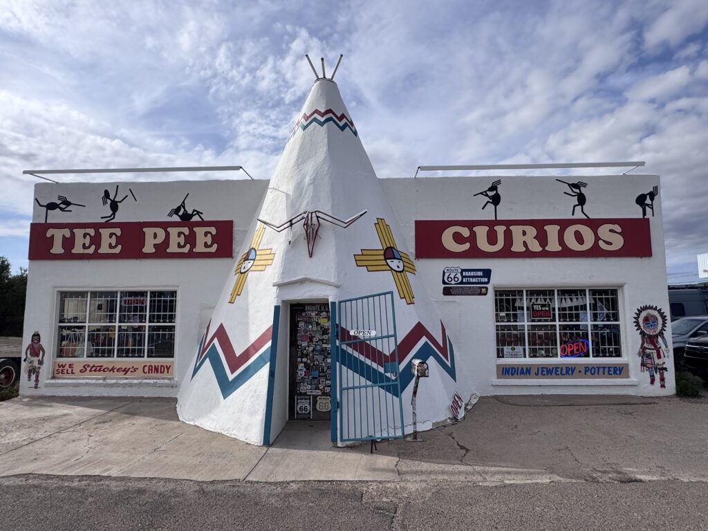
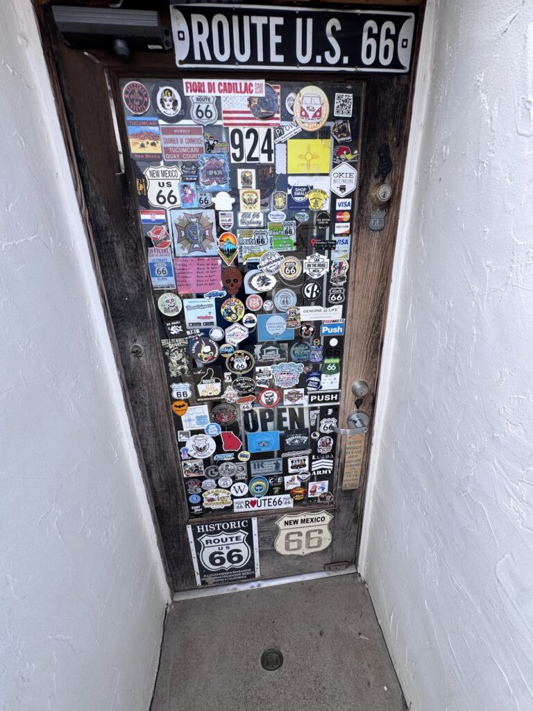
Tee Pee curios is a fun stop as well
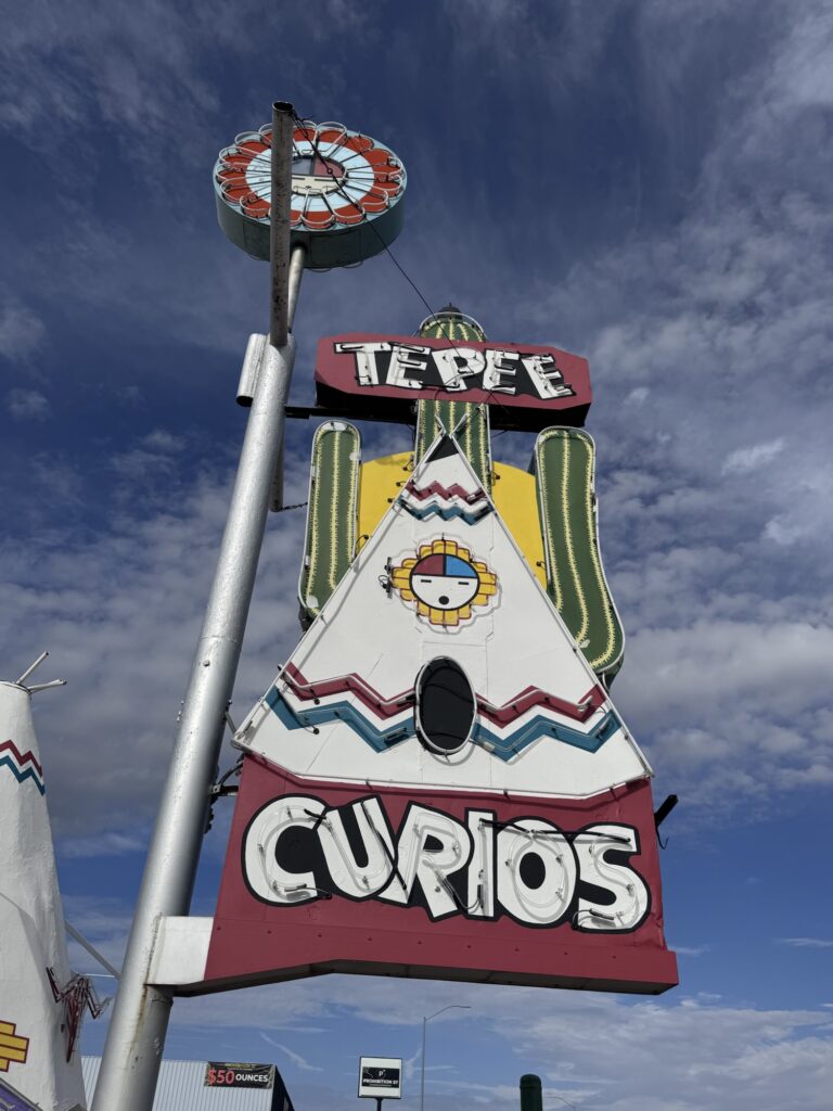
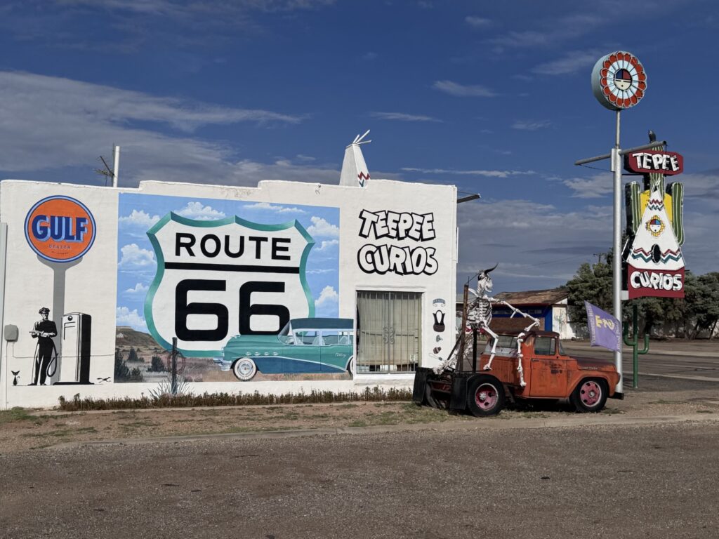
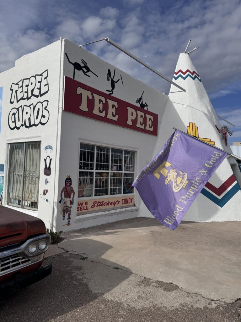
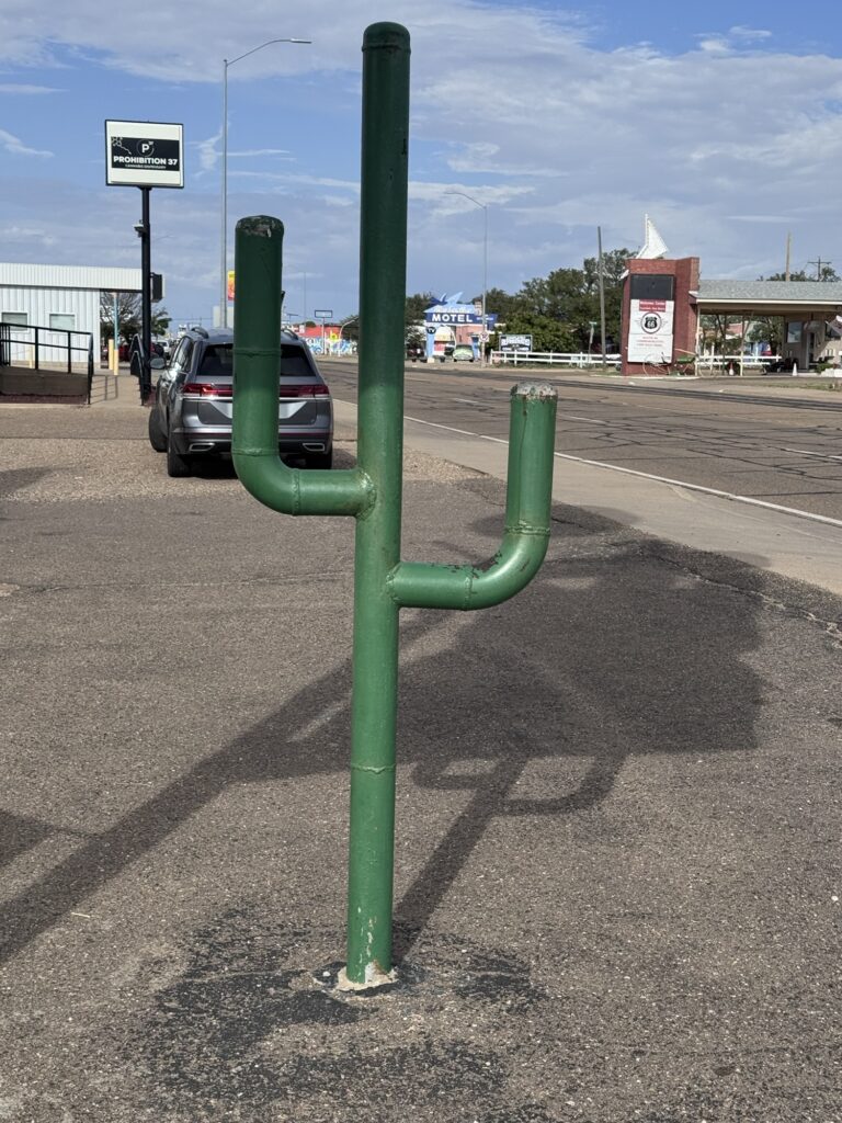
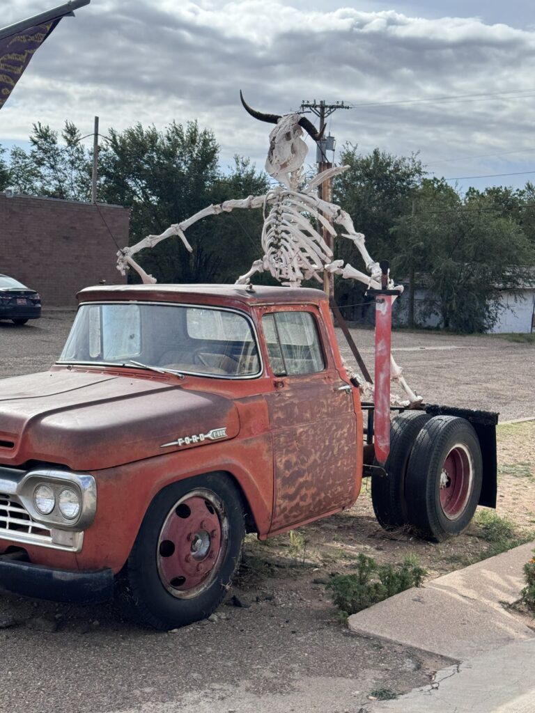
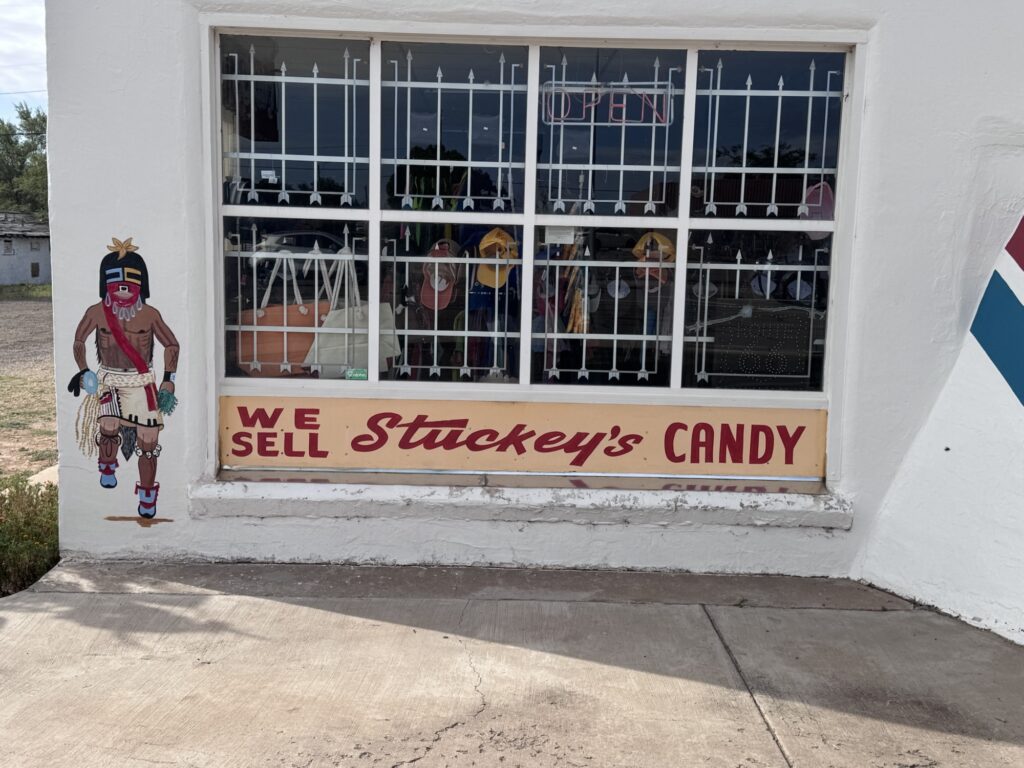
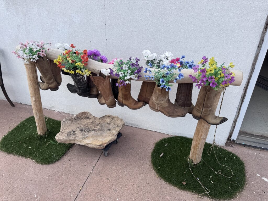
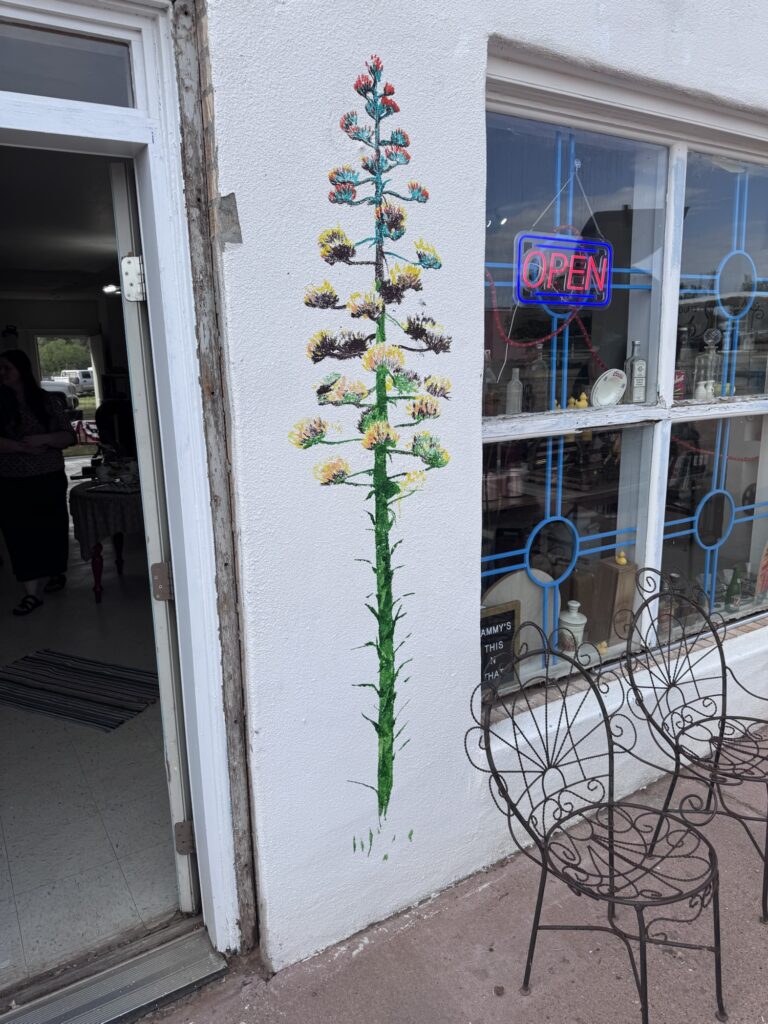
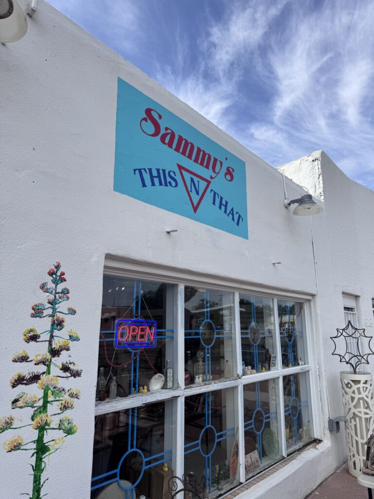
Sammy’s this n that we saw the artist beginning this wall art last night.
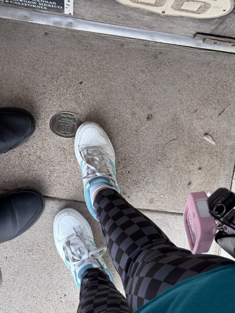
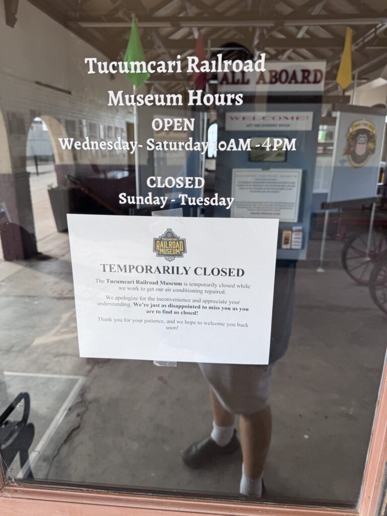
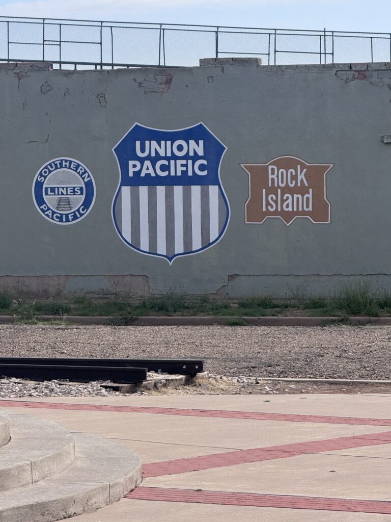
Train museum was closed but had the stamps outside
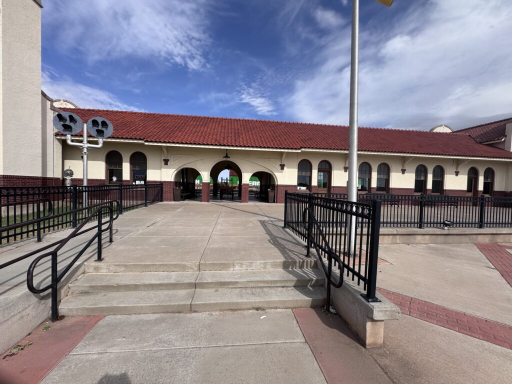
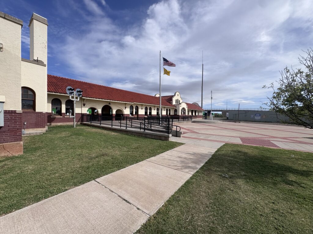
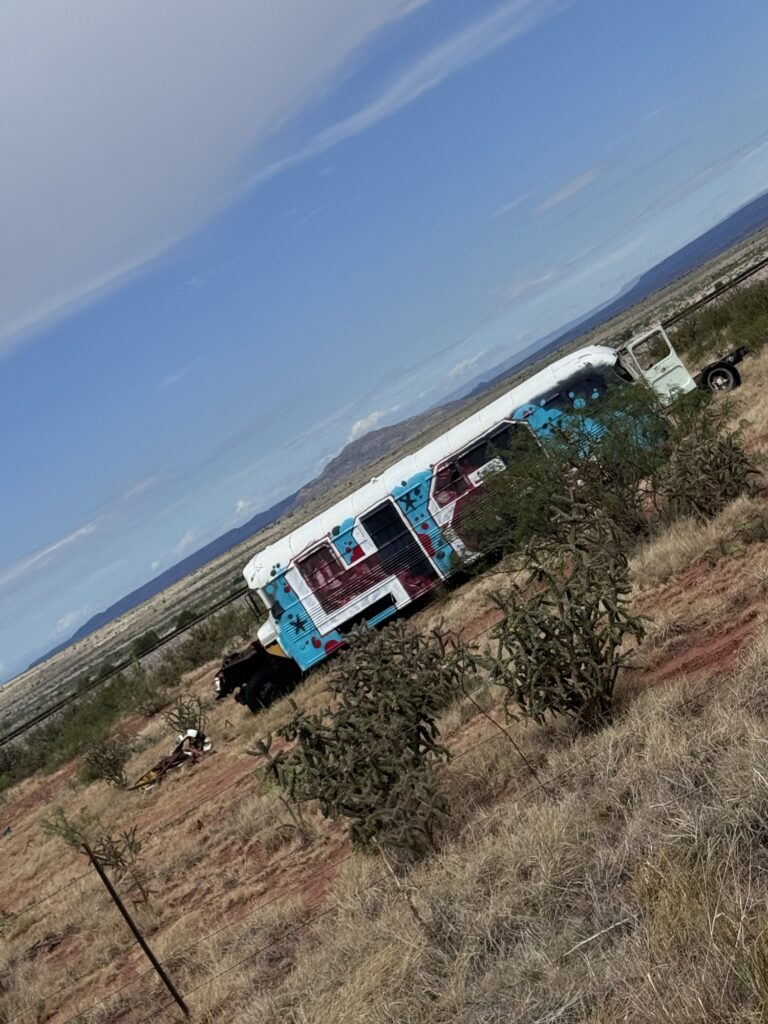
Interesting write up I found online about how the interstate impacted businesses etc. not my work, but well put
https://www.facebook.com/share/p/19Tamxu7eK/?mibextid=wwXIfr
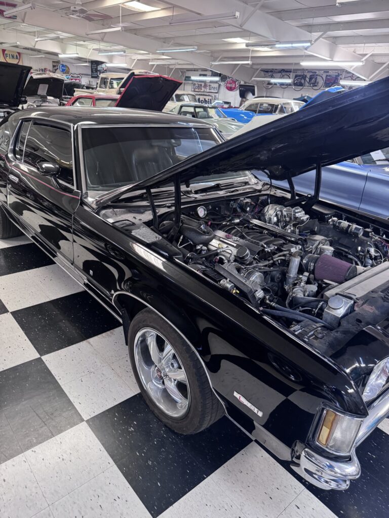
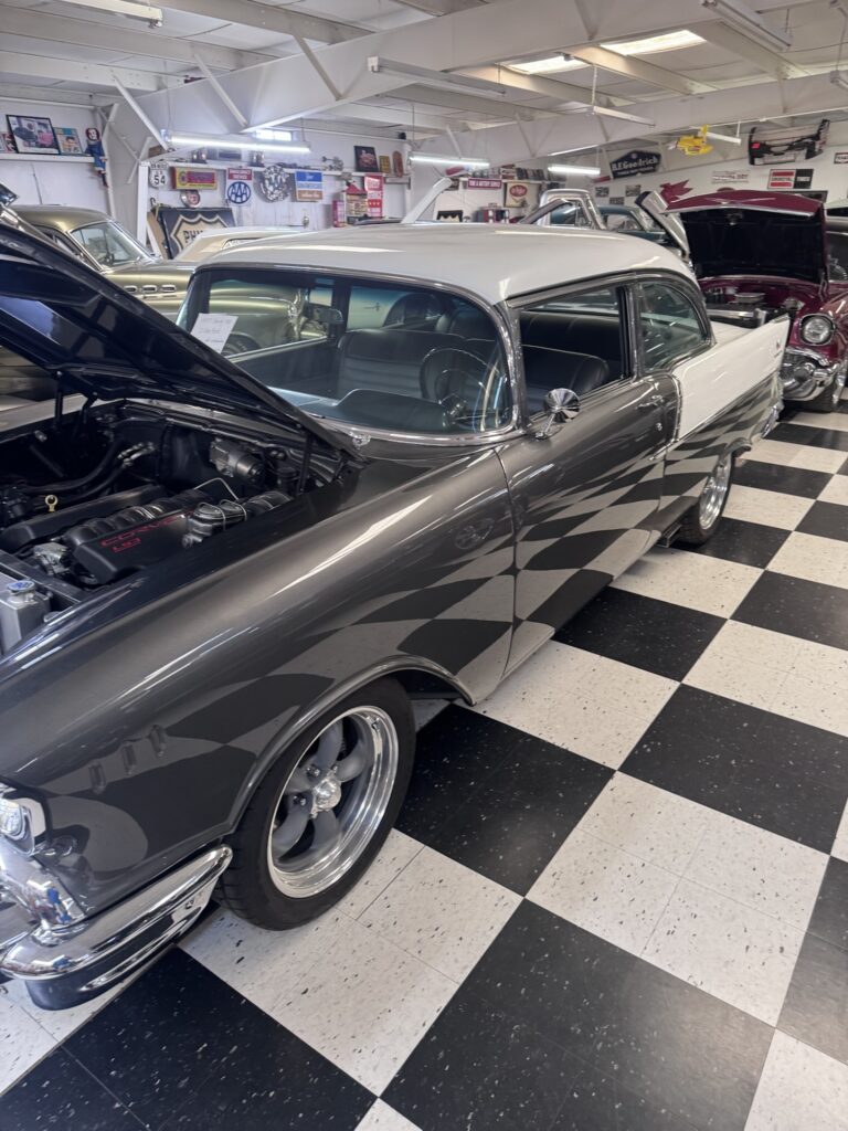
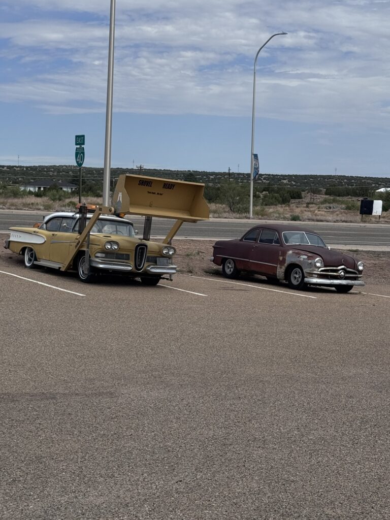
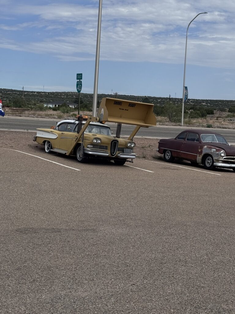
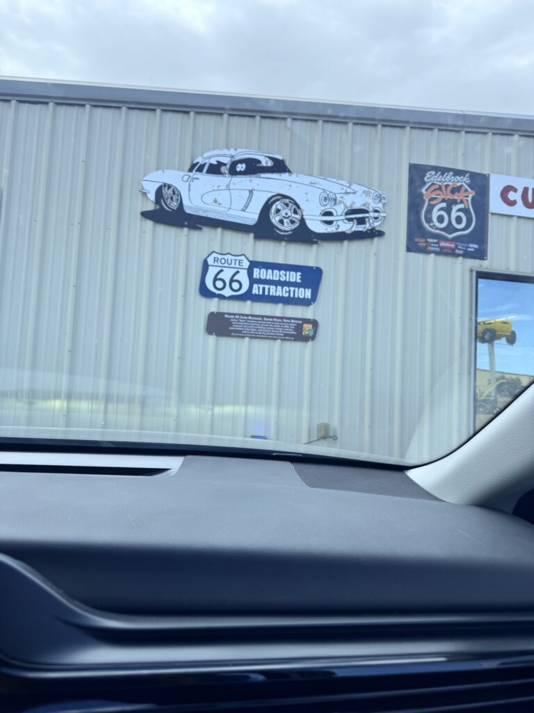
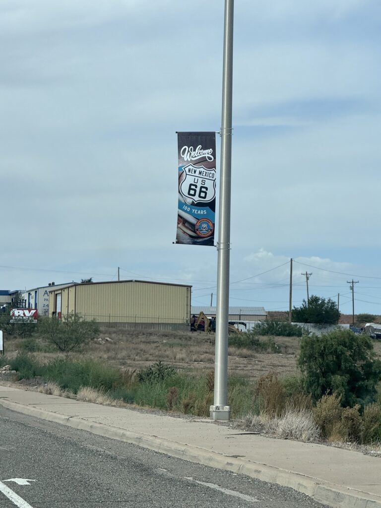
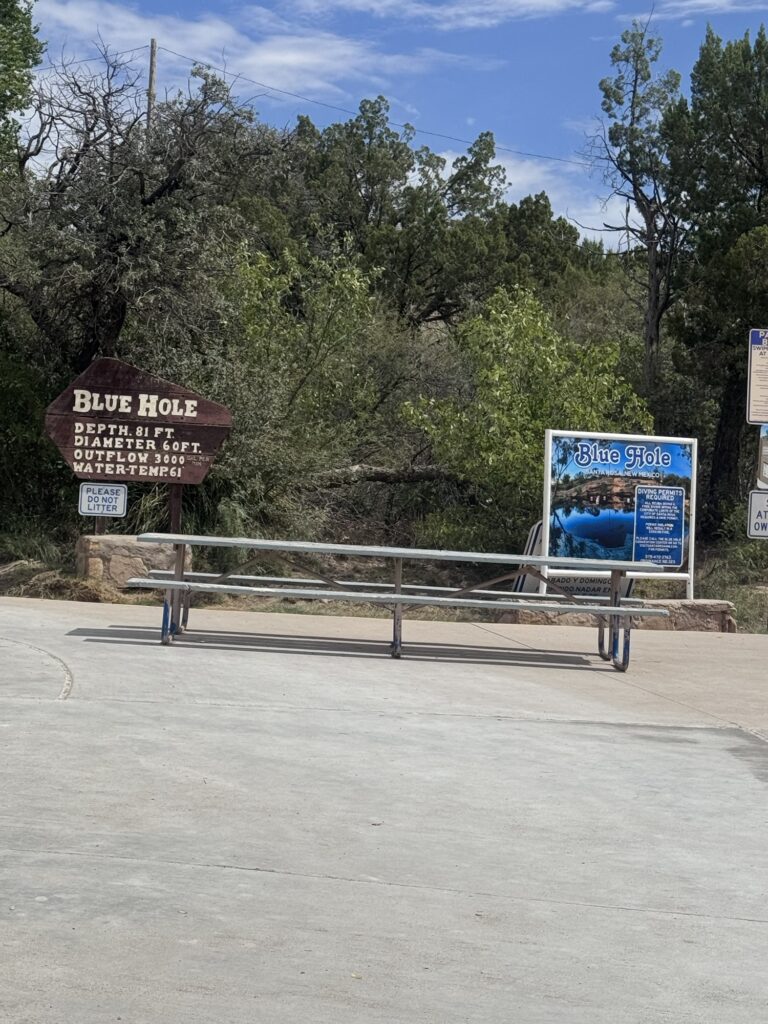
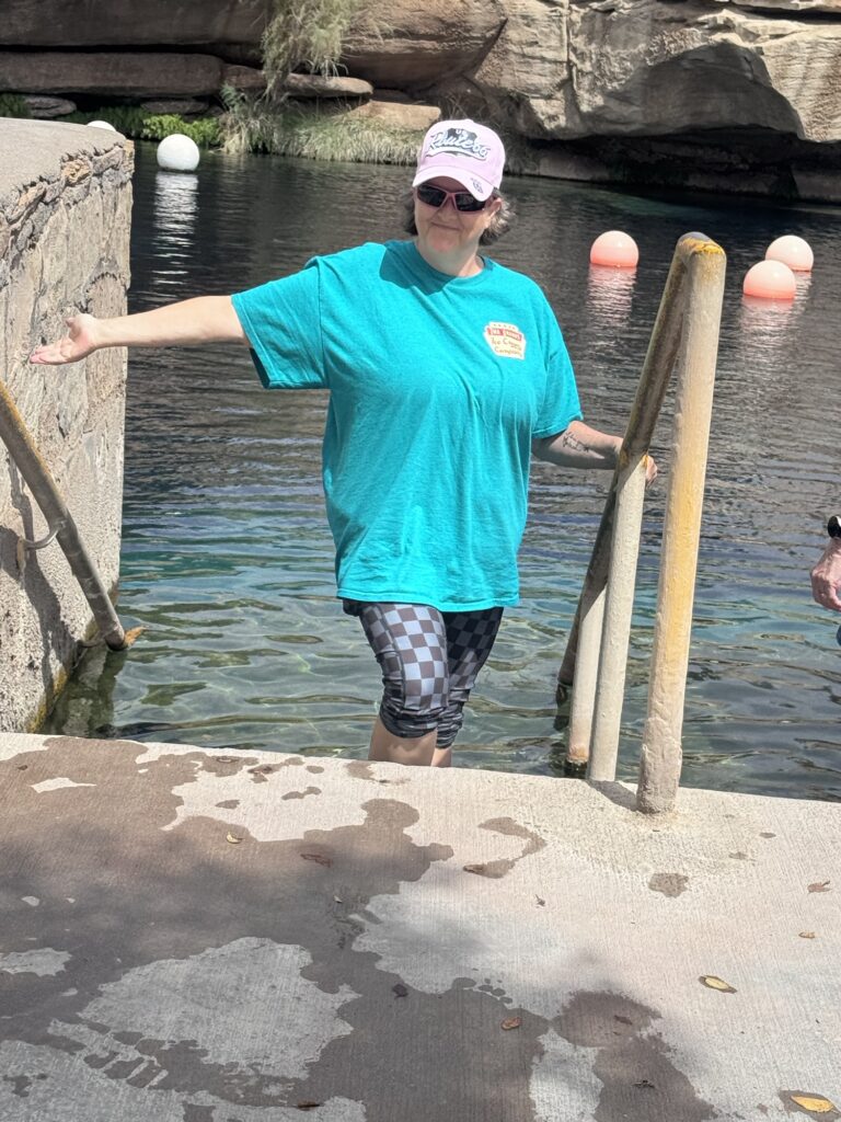
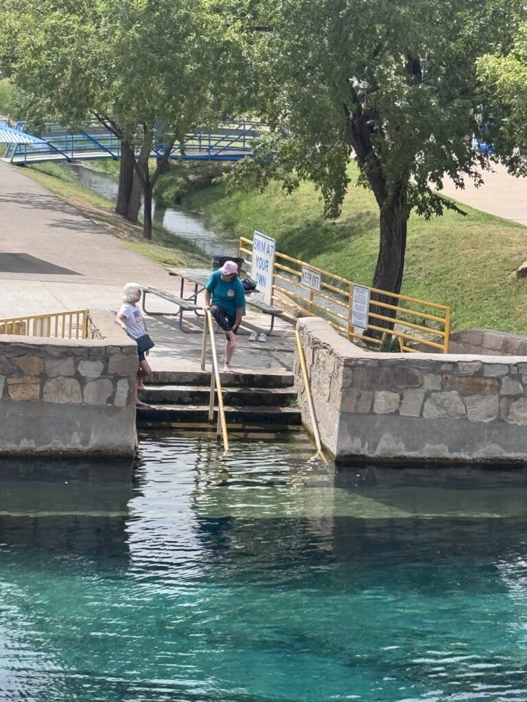
Next stop the “blue hole” Santa Rosa 61 degrees. Reminded me of our swimming hole at home. I didn’t swim. Shelle dipped her feet
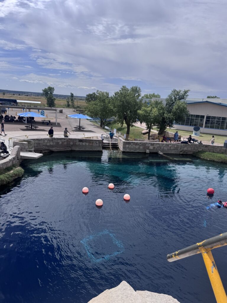
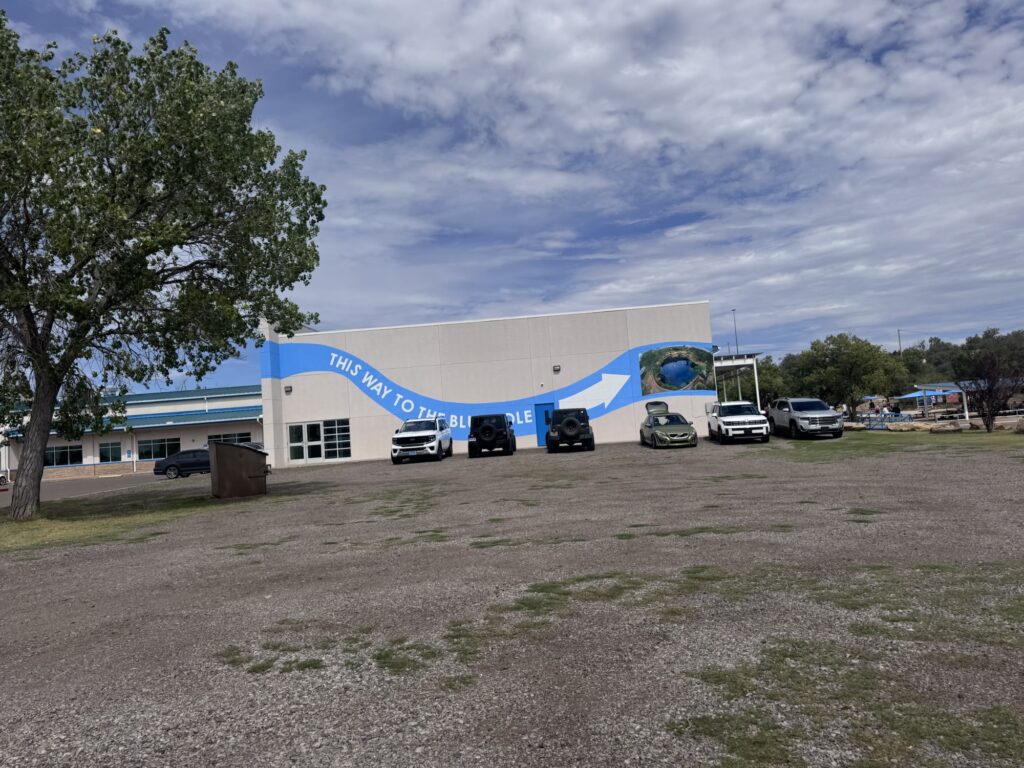
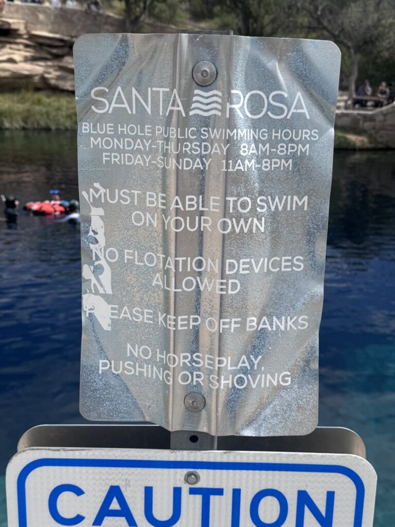
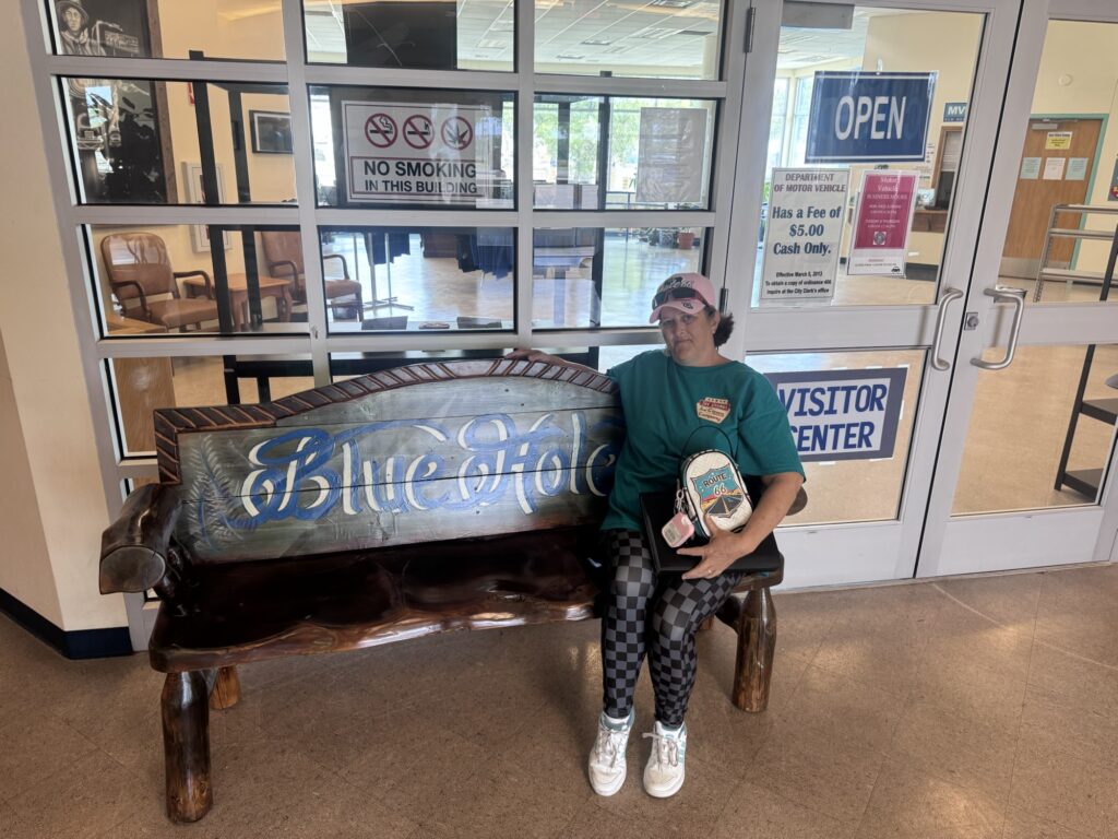
From Google:
The Original 1926 Alignment (The Santa Fe Loop)
- Approaching from the East: From Santa Rosa, the original route headed north toward Las Vegas and Romeroville, following the old Santa Fe Trail corridor through Pecos and Glorieta Pass.
- Through Downtown Santa Fe: The road entered the capital city along the Old Santa Fe Trail, passing landmarks like the San Miguel Mission and La Fonda on the Plaza.
- Heading South: From downtown, it turned onto Water Street, Galisteo Street, and Cerrillos Road, heading south down La Bajada Hill toward Bernalillo and Albuquerque.
The 1937 Realignment
- The Bypass: In 1937, a new, more direct east-west alignment was built straight from Santa Rosa through Moriarty and directly into Albuquerque.
- Distance Saved: This modern shortcut completely bypassed Santa Fe and cut roughly 100 miles off the cross-country drive.
We did the “Santa fe loop” last trip. So we are skipping it this time.
Next stop Clines Corners
From Google:
Clines Corners started in 1934 when Roy E. Cline opened a small filling station and café at the intersection of New Mexico state highways 2 and 6.
Early Beginnings and Relocations
- 1934 Foundation: Roy E. Cline built the original rest stop on lonely ranchland.
- Road Changes: When the state realigned the routes into U.S. Route 66 and U.S. Route 285, Cline physically moved his building to stay at the new intersection.
- Name Origin: The name combines Cline's surname with the crossing of the two highways. The apostrophe was dropped over the decades
From Google:
Country Friends Antiques in Moriarty, New Mexico, is famous for the vintage, Space Age Roto-Sphere (or "sputnik") neon sign mounted on a 16-spike metal sphere above the building at 1005 Historic Route 66
History and Highlights
- Former Restaurant: The building originally housed El Comedor de Anayas, a popular 1950s and 1960s restaurant that welcomed travelers, politicians, and passing country music stars.
- Celebrity Portraits: Autographed portraits of the historic musicians and political figures who dined at the restaurant still line two interior walls inside the antique shop today.
- The Roto-Sphere Sign: Manufactured in the 1960s by inventor Warren Mills out of Bossier City, Louisiana, the 16-spiked neon sphere once rotated in multiple directions to lure Route 66 motorists off Interstate 40.
- Roadside Landmark: While the mechanical rotation and neon lights are no longer fully functional due to weather and weather-fried repairs, it remains a heavily photographed Route 66 landmark and the last sign of its kind left along the New Mexico stretch of the highway.
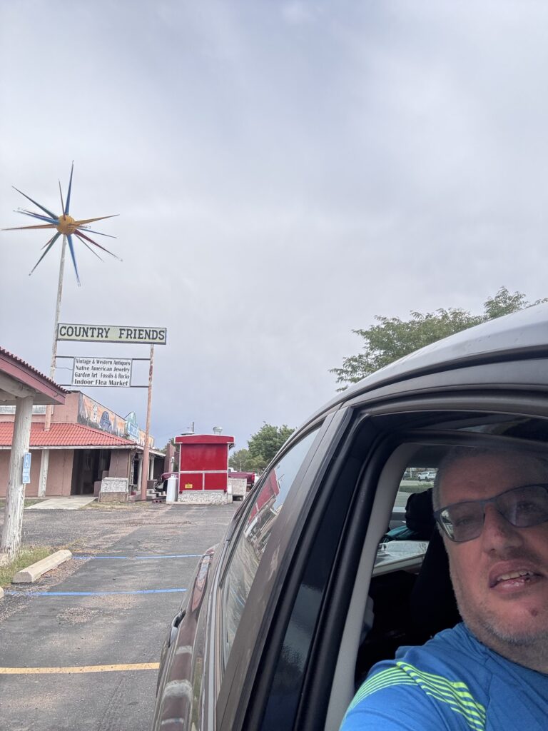
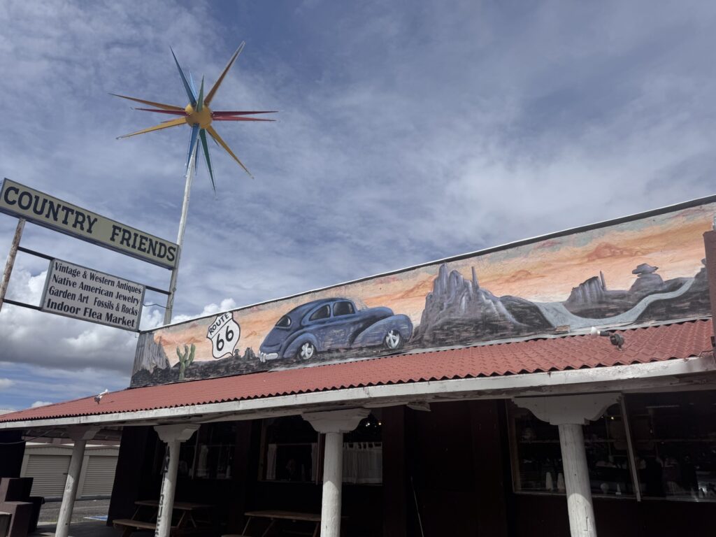
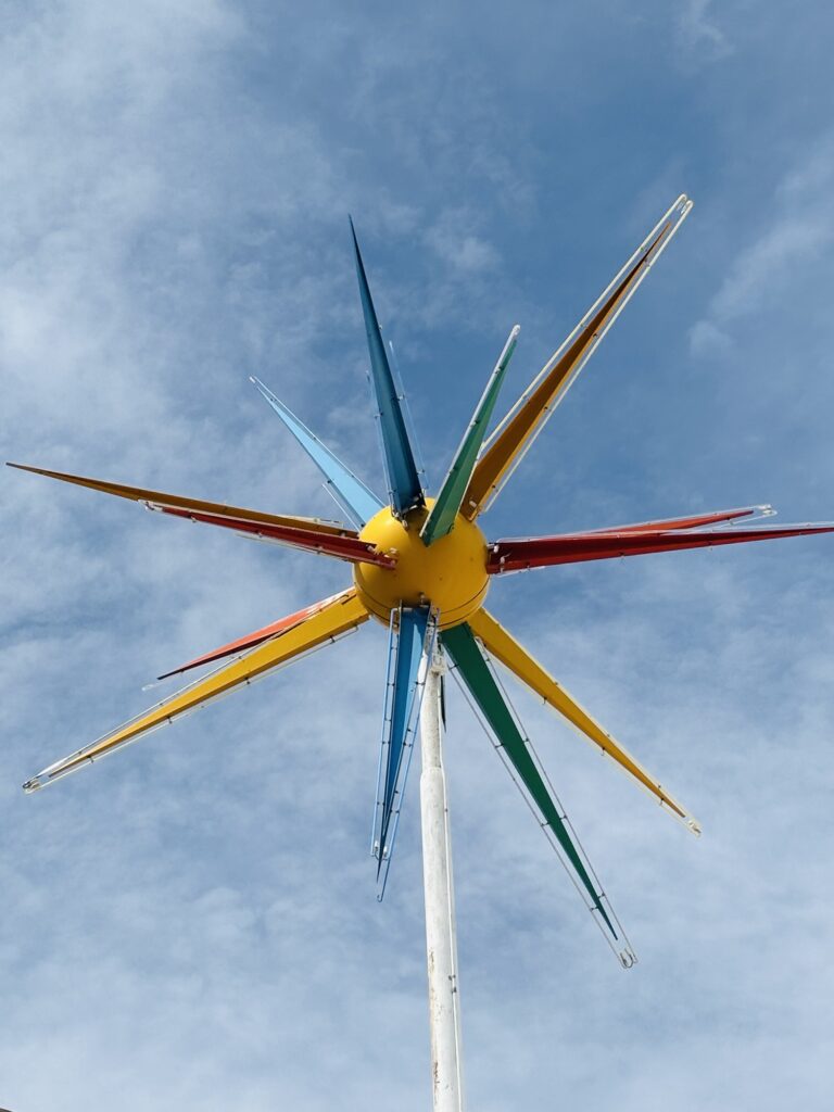
Shop owner Cindy Arnett talking about the Sputnik . It is free to move in the wind now, but they didn’t have the motors replaced again the weather is too hard on it .
Moving on to ABQ for the night
Tonight we stayed at the American RV Resort in a cabin. Thankfully because it’s raining pretty good out there.
https://www.facebook.com/share/v/1CGtQc44kR/?mibextid=wwXIfr
You guys are living your best “life”. Your pics are wonderful and bring back many memories. Keep going!!
We are having a great time!